Climate change is not something far away for Curaçao. It is already part of daily life.
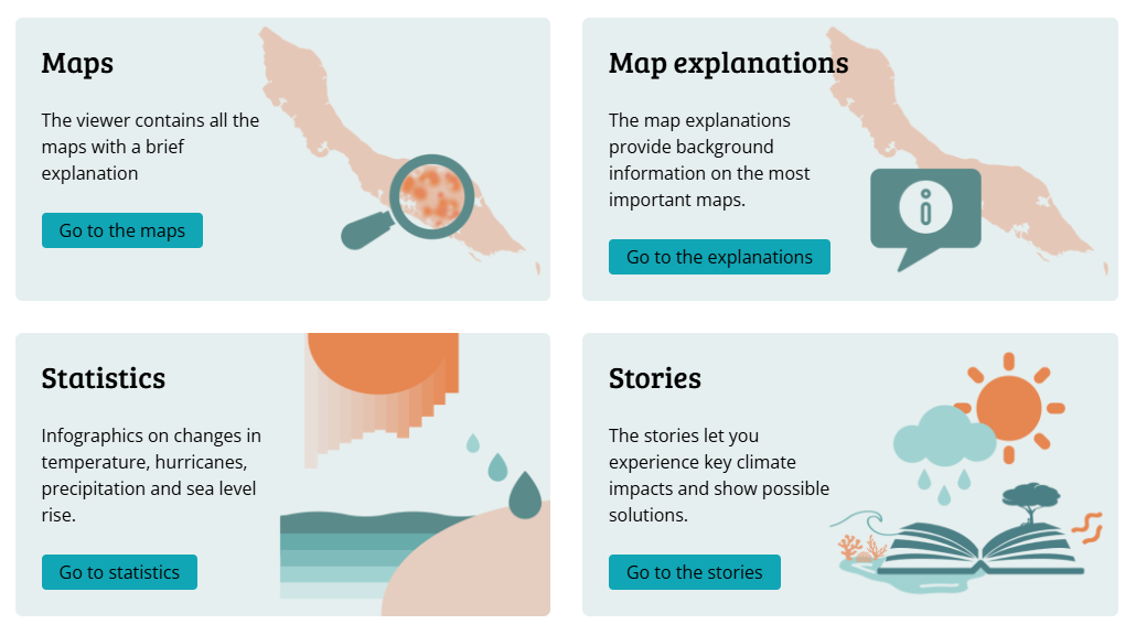
KlimaKòrsou is Curaçao’s Climate Impact Atlas, an open online platform that shows how climate change is affecting the island today and what is expected in the future. Through clear maps, statistics, stories, and explanations, KlimaKòrsou makes climate data understandable and usable for residents, communities, and decision-makers.
The platform is available in Papiamentu, English, and Dutch, making climate knowledge accessible to everyone on the island.
KlimaKòrsou brings together scientific research and local knowledge in one central place. Users can explore interactive maps that show flood risks, heat stress, sea level rise, drought, and impacts on coral reefs and ecosystems.
Instead of abstract numbers, the atlas answers real questions.
This makes KlimaKòrsou a powerful tool for awareness, planning, and preparation.
KlimaKòrsou directly supports SDG 13 Climate Action by helping Curaçao prepare for climate impacts through better understanding and informed choices. By showing how land-based changes affect the coast and marine ecosystems, it also contributes to SDG 14 Life Below Water and SDG 15 Life on Land.
The platform also supports SDG 4 Quality Education. Climate knowledge is shared in a visual, story-based way that does not require a scientific background. Local stories help people connect climate data to everyday life on the island.
KlimaKòrsou was developed in collaboration with the Curaçao Climate Change Platform, Climate Adaptation Services, and multiple scientific and local partners, with support from the International Panel on Deltas, Coastal Areas, and Islands (IPDC).
The goal is long-term. KlimaKòrsou is not a one-time project, but a growing knowledge platform that helps Curaçao adapt, plan, and protect its future.